
Thank you for supporting this site ❤️
Make a donation
Make a donation
Vavul Mala topographic map
Click on the map to display elevation.
Thank you for supporting this site ❤️
Make a donation
Make a donation
About this map
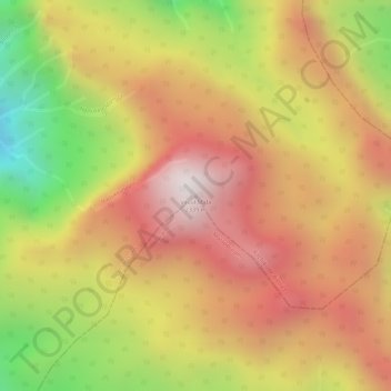
Name: Vavul Mala topographic map, elevation, terrain.
Location: Vavul Mala, Thamarassery, Kozhikode district, Kerala, India (11.42722 76.13122 11.42732 76.13132)
Average elevation: 1,940 m
Minimum elevation: 1,379 m
Maximum elevation: 2,312 m
Thank you for supporting this site ❤️
Make a donation
Make a donation
Other topographic maps
Click on a map to view its topography, its elevation and its terrain.