
Thank you for supporting this site ❤️
Make a donation
Make a donation
Becks Mill topographic map
Click on the map to display elevation.
Thank you for supporting this site ❤️
Make a donation
Make a donation
About this map
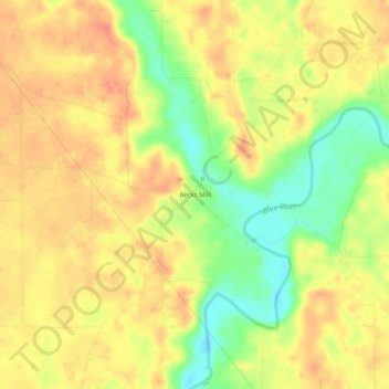
Name: Becks Mill topographic map, elevation, terrain.
Location: Becks Mill, Washington County, Indiana, United States (38.51534 -86.17553 38.55534 -86.13553)
Average elevation: 228 m
Minimum elevation: 197 m
Maximum elevation: 246 m
Thank you for supporting this site ❤️
Make a donation
Make a donation