
Thank you for supporting this site ❤️
Make a donation
Make a donation
Kerora topographic map
Click on the map to display elevation.
Thank you for supporting this site ❤️
Make a donation
Make a donation
About this map
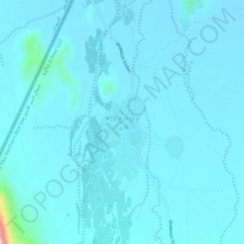
Name: Kerora topographic map, elevation, terrain.
Location: Kerora, Northen Red Sea Region, Eritrea (17.65066 38.35270 17.69066 38.39270)
Average elevation: 192 m
Minimum elevation: 167 m
Maximum elevation: 582 m
Thank you for supporting this site ❤️
Make a donation
Make a donation