
Kessel topographic map
Interactive map
Click on the map to display elevation.
About this map
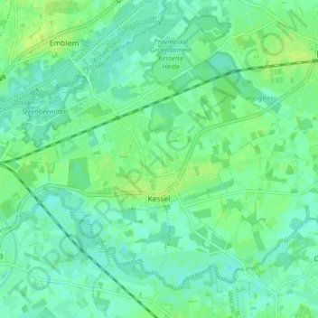
Name: Kessel topographic map, elevation, terrain.
Location: Kessel, Nijlen, Mechelen, Antwerpen, Vlaanderen, België (51.12435 4.59719 51.16472 4.67586)
Average elevation: 6 m
Minimum elevation: 0 m
Maximum elevation: 13 m
Kessel ligt tussen de Kleine Nete en de Grote Nete op een hoogte van 4 tot 10 meter.
Other topographic maps
Click on a map to view its topography, its elevation and its terrain.