
Mandjou topographic map
Interactive map
Click on the map to display elevation.
About this map
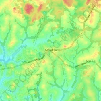
Name: Mandjou topographic map, elevation, terrain.
Location: Mandjou, Lom-et-Djérem, Est, Cameroun (4.55322 13.69916 4.63322 13.77916)
Average elevation: 669 m
Minimum elevation: 641 m
Maximum elevation: 712 m