
Thank you for supporting this site ❤️
Make a donation
Make a donation
Bisiqa topographic map
Click on the map to display elevation.
Thank you for supporting this site ❤️
Make a donation
Make a donation
About this map
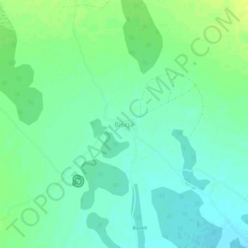
Name: Bisiqa topographic map, elevation, terrain.
Location: Bisiqa, Burao District, Togdheer, Somaliland, Somalia (8.68512 45.45557 8.72512 45.49557)
Average elevation: 805 m
Minimum elevation: 798 m
Maximum elevation: 814 m
Thank you for supporting this site ❤️
Make a donation
Make a donation
Other topographic maps
Click on a map to view its topography, its elevation and its terrain.