
Thank you for supporting this site ❤️
Make a donation
Make a donation
El Cauchal topographic map
Click on the map to display elevation.
Thank you for supporting this site ❤️
Make a donation
Make a donation
About this map
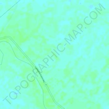
Name: El Cauchal topographic map, elevation, terrain.
Location: El Cauchal, Majagual, La Mojana, Sucre, Colombia (8.53499 -74.90084 8.55499 -74.88084)
Average elevation: 19 m
Minimum elevation: 15 m
Maximum elevation: 22 m
Thank you for supporting this site ❤️
Make a donation
Make a donation