
Cansas topographic map
Click on the map to display elevation.
About this map
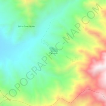
Name: Cansas topographic map, elevation, terrain.
Location: Cansas, Yauca del Rosario, Province of Ica, Ica, Peru (-14.03980 -75.60958 -13.99980 -75.56958)
Average elevation: 1,183 m
Minimum elevation: 819 m
Maximum elevation: 1,827 m