
Le Rocher Rond topographic map
Interactive map
Click on the map to display elevation.
About this map
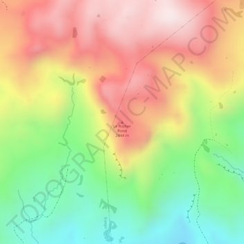
Name: Le Rocher Rond topographic map, elevation, terrain.
Location: Le Rocher Rond, Nkong-Zem, Menoua, Ouest, Cameroun (5.60786 10.05695 5.60796 10.05705)
Average elevation: 2,310 m
Minimum elevation: 2,043 m
Maximum elevation: 2,547 m