
Thank you for supporting this site ❤️
Make a donation
Make a donation
Nymburk topographic map
Click on the map to display elevation.
Thank you for supporting this site ❤️
Make a donation
Make a donation
About this map
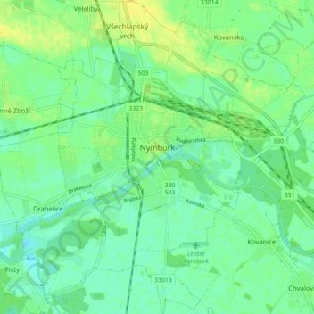
Name: Nymburk topographic map, elevation, terrain.
Location: Nymburk, okres Nymburk, Central Bohemia, Czechia (50.15651 14.99709 50.21256 15.08407)
Average elevation: 189 m
Minimum elevation: 180 m
Maximum elevation: 200 m
Thank you for supporting this site ❤️
Make a donation
Make a donation
Other topographic maps
Click on a map to view its topography, its elevation and its terrain.
Thank you for supporting this site ❤️
Make a donation
Make a donation
Thank you for supporting this site ❤️
Make a donation
Make a donation