
Espeler topographic map
Interactive map
Click on the map to display elevation.
About this map
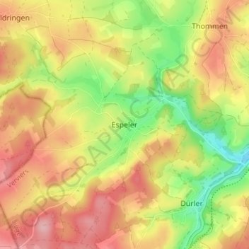
Name: Espeler topographic map, elevation, terrain.
Location: Espeler, Lüttich, Wallonien, 4791, Belgien (50.18322 6.03284 50.22322 6.07284)
Average elevation: 476 m
Minimum elevation: 396 m
Maximum elevation: 544 m