
Sui County topographic map
Interactive map
Click on the map to display elevation.
About this map
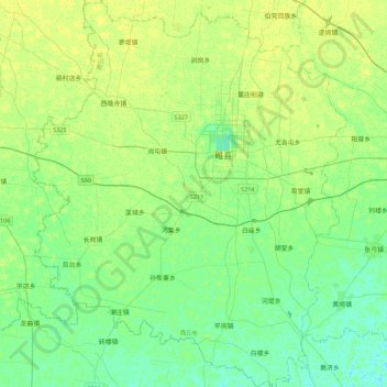
Name: Sui County topographic map, elevation, terrain.
Location: Sui County, Shangqiu City, Henan, China (34.20491 114.84299 34.57527 115.20653)
Average elevation: 57 m
Minimum elevation: 50 m
Maximum elevation: 64 m
Other topographic maps
Click on a map to view its topography, its elevation and its terrain.