
Thank you for supporting this site ❤️
Make a donation
Make a donation
Goldbug topographic map
Click on the map to display elevation.
Thank you for supporting this site ❤️
Make a donation
Make a donation
About this map
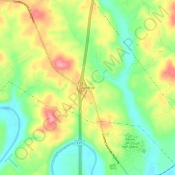
Name: Goldbug topographic map, elevation, terrain.
Location: Goldbug, Whitley County, Kentucky, United States (36.77258 -84.18799 36.81258 -84.14799)
Average elevation: 323 m
Minimum elevation: 268 m
Maximum elevation: 392 m
Thank you for supporting this site ❤️
Make a donation
Make a donation
Other topographic maps
Click on a map to view its topography, its elevation and its terrain.