
Almeroth topographic map
Interactive map
Click on the map to display elevation.
About this map
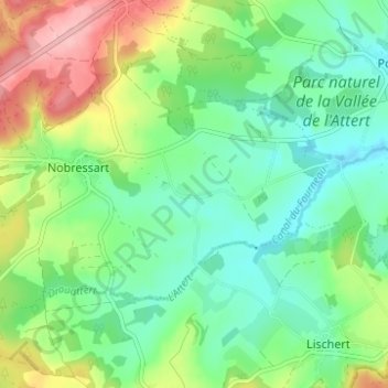
Name: Almeroth topographic map, elevation, terrain.
Location: Almeroth, Attert, Luxembourg, Wallonie, 6717, Belgique (49.71713 5.71729 49.75713 5.75729)
Average elevation: 351 m
Minimum elevation: 304 m
Maximum elevation: 445 m