
Thank you for supporting this site ❤️
Make a donation
Make a donation
Hodbomont topographic map
Click on the map to display elevation.
Thank you for supporting this site ❤️
Make a donation
Make a donation
About this map
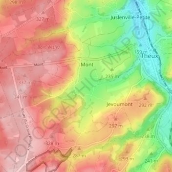
Name: Hodbomont topographic map, elevation, terrain.
Location: Hodbomont, Theux, Verviers, Liège, Wallonie, 4910, Belgique (50.50796 5.77038 50.54796 5.81038)
Average elevation: 262 m
Minimum elevation: 153 m
Maximum elevation: 346 m
Thank you for supporting this site ❤️
Make a donation
Make a donation