
Le Corbier topographic map
Interactive map
Click on the map to display elevation.
About this map
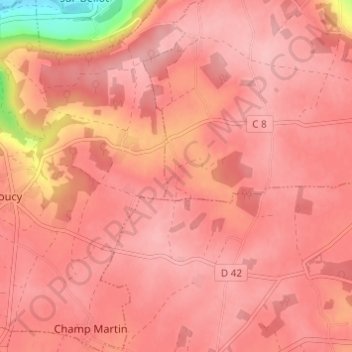
Name: Le Corbier topographic map, elevation, terrain.
Average elevation: 184 m
Minimum elevation: 86 m
Maximum elevation: 207 m
Other topographic maps
Click on a map to view its topography, its elevation and its terrain.
L'Epinoche
France > Île-de-France > Seine-et-Marne > Verdelot
L'Epinoche, Verdelot, Provins, Seine-et-Marne, Île-de-France, France métropolitaine, 77510, France
Average elevation: 169 m