
Thank you for supporting this site ❤️
Make a donation
Make a donation
Pagannoni Inferiore topographic map
Click on the map to display elevation.
Thank you for supporting this site ❤️
Make a donation
Make a donation
About this map
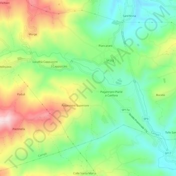
Name: Pagannoni Inferiore topographic map, elevation, terrain.
Location: Pagannoni Inferiore, Campli, Teramo, Abruzzo, 64012, Italia (42.70453 13.70156 42.74453 13.74156)
Average elevation: 312 m
Minimum elevation: 168 m
Maximum elevation: 539 m
Thank you for supporting this site ❤️
Make a donation
Make a donation