
Rupperswil topographic map
Interactive map
Click on the map to display elevation.
About this map
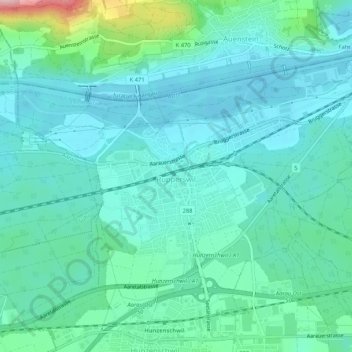
Name: Rupperswil topographic map, elevation, terrain.
Location: Rupperswil, Bezirk Lenzburg, Aargau, 5102, Zwitserland (47.39080 8.10392 47.41526 8.15617)
Average elevation: 390 m
Minimum elevation: 349 m
Maximum elevation: 576 m