
Thank you for supporting this site ❤️
Make a donation
Make a donation
Boona topographic map
Click on the map to display elevation.
Thank you for supporting this site ❤️
Make a donation
Make a donation
About this map
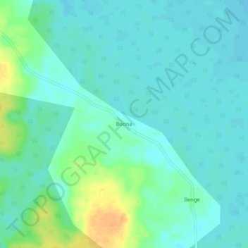
Name: Boona topographic map, elevation, terrain.
Location: Boona, Tshuapa, Democratic Republic of the Congo (-0.42695 20.73003 -0.38695 20.77003)
Average elevation: 338 m
Minimum elevation: 329 m
Maximum elevation: 362 m
Thank you for supporting this site ❤️
Make a donation
Make a donation