
Thank you for supporting this site ❤️
Make a donation
Make a donation
Ghibullo topographic map
Click on the map to display elevation.
Thank you for supporting this site ❤️
Make a donation
Make a donation
About this map
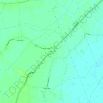
Name: Ghibullo topographic map, elevation, terrain.
Location: Ghibullo, Longana, Ravenna, Emilia-Romagna, Italia (44.32500 12.12037 44.36500 12.16037)
Average elevation: 5 m
Minimum elevation: 0 m
Maximum elevation: 9 m
Thank you for supporting this site ❤️
Make a donation
Make a donation