
Soledad topographic map
Click on the map to display elevation.
About this map
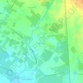
Name: Soledad topographic map, elevation, terrain.
Location: Soledad, San Pablo, Laguna, Calabarzon, 4000, Philippines (14.03162 121.30893 14.05076 121.32357)
Average elevation: 82 m
Minimum elevation: 68 m
Maximum elevation: 103 m
Other topographic maps
Click on a map to view its topography, its elevation and its terrain.