
Thank you for supporting this site ❤️
Make a donation
Make a donation
Colibița topographic map
Click on the map to display elevation.
Thank you for supporting this site ❤️
Make a donation
Make a donation
About this map
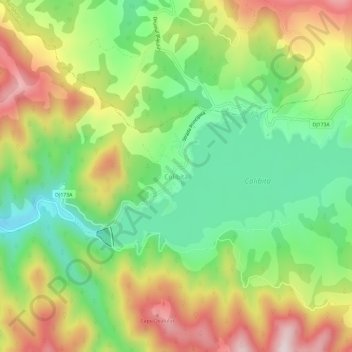
Name: Colibița topographic map, elevation, terrain.
Location: Colibița, Bistrița Bârgăului, Bistrița-Năsăud, 427007, Romania (47.15092 24.86764 47.19092 24.90764)
Average elevation: 897 m
Minimum elevation: 689 m
Maximum elevation: 1,178 m
Thank you for supporting this site ❤️
Make a donation
Make a donation
Other topographic maps
Click on a map to view its topography, its elevation and its terrain.
Bistrița
Romania > Bistrița-Năsăud > Bistrița
Due to its modest elevation, Bistrița has one of the coldest climates in Romania.
Average elevation: 429 m
Thank you for supporting this site ❤️
Make a donation
Make a donation