
Wildried topographic map
Interactive map
Click on the map to display elevation.
About this map
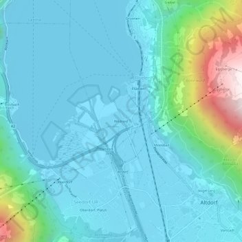
Name: Wildried topographic map, elevation, terrain.
Location: Wildried, Flüelen, Uri, 6454, Suisse (46.87551 8.60007 46.91551 8.64007)
Average elevation: 604 m
Minimum elevation: 428 m
Maximum elevation: 1,559 m
Other topographic maps
Click on a map to view its topography, its elevation and its terrain.