
Thank you for supporting this site ❤️
Make a donation
Make a donation
Blauwestad topographic map
Click on the map to display elevation.
Thank you for supporting this site ❤️
Make a donation
Make a donation
About this map
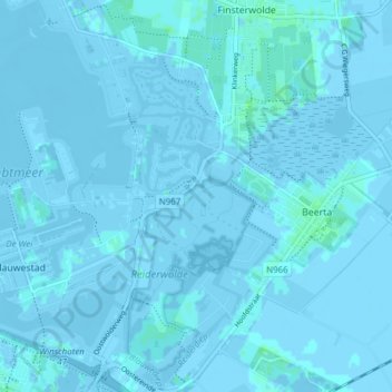
Name: Blauwestad topographic map, elevation, terrain.
Location: Blauwestad, Oldambt, Groningen, Netherlands (53.15700 7.01433 53.19590 7.09086)
Average elevation: -1 m
Minimum elevation: -6 m
Maximum elevation: 6 m
Thank you for supporting this site ❤️
Make a donation
Make a donation
Other topographic maps
Click on a map to view its topography, its elevation and its terrain.