
Unorganized North Algoma topographic map
Interactive map
Click on the map to display elevation.
About this map
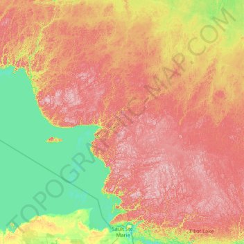
Name: Unorganized North Algoma topographic map, elevation, terrain.
Average elevation: 319 m
Minimum elevation: 174 m
Maximum elevation: 630 m
Other topographic maps
Click on a map to view its topography, its elevation and its terrain.
Elliot Lake
Canada > Ontario > Algoma District > Elliot Lake
Elliot Lake, Algoma District, Northeastern Ontario, Ontario, Canada
Average elevation: 342 m