
Endé topographic map
Interactive map
Click on the map to display elevation.
About this map
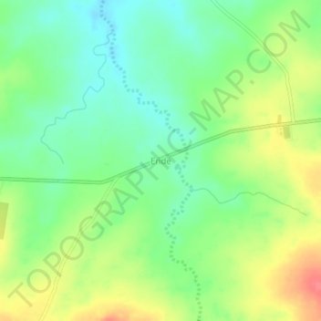
Name: Endé topographic map, elevation, terrain.
Location: Endé, Mayo-Kebbi West, Tschad (9.34018 14.83153 9.38018 14.87153)
Average elevation: 418 m
Minimum elevation: 392 m
Maximum elevation: 455 m