
Vale da Pinta topographic map
Interactive map
Click on the map to display elevation.
About this map
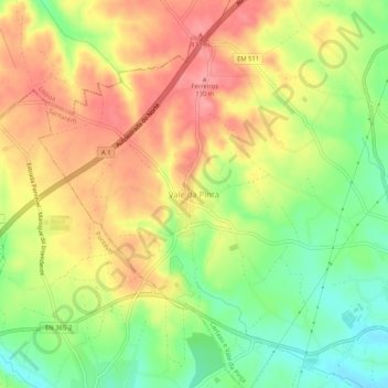
Name: Vale da Pinta topographic map, elevation, terrain.
Location: Vale da Pinta, Cartaxo, Santarém, 2070-559, Portugal (39.15230 -8.84549 39.19230 -8.80549)
Average elevation: 85 m
Minimum elevation: 34 m
Maximum elevation: 130 m
Other topographic maps
Click on a map to view its topography, its elevation and its terrain.
Vila Chã de Ourique
Vila Chã de Ourique, Cartaxo, Santarém, 2070-628, Portugal
Average elevation: 45 m