
Ophir topographic map
Interactive map
Click on the map to display elevation.
About this map
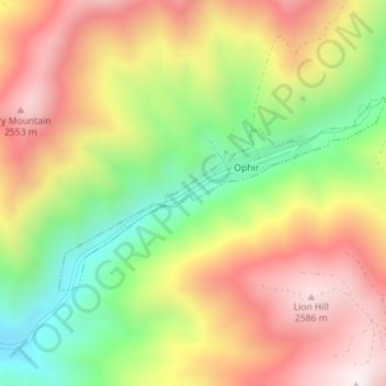
Name: Ophir topographic map, elevation, terrain.
Location: Ophir, Tooele County, Utah, États-Unis d'Amérique (40.36096 -112.27258 40.37449 -112.24249)
Average elevation: 2,232 m
Minimum elevation: 1,826 m
Maximum elevation: 2,615 m