
Ragang topographic map
Interactive map
Click on the map to display elevation.
About this map
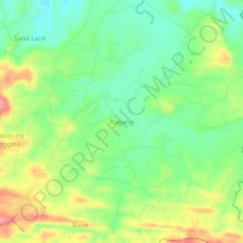
Name: Ragang topographic map, elevation, terrain.
Location: Ragang, Pamekasan, East Java, Indonesia (-7.01182 113.56865 -6.97182 113.60865)
Average elevation: 142 m
Minimum elevation: 97 m
Maximum elevation: 210 m