
Velate topographic map
Interactive map
Click on the map to display elevation.
About this map
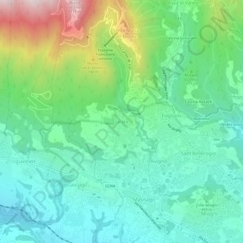
Name: Velate topographic map, elevation, terrain.
Location: Velate, Varèse, Lombardie, 21025, Italie (45.82581 8.77164 45.86581 8.81164)
Average elevation: 542 m
Minimum elevation: 322 m
Maximum elevation: 1,112 m