
Thank you for supporting this site ❤️
Make a donation
Make a donation
Santa Martha topographic map
Click on the map to display elevation.
Thank you for supporting this site ❤️
Make a donation
Make a donation
About this map
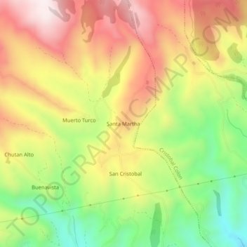
Name: Santa Martha topographic map, elevation, terrain.
Location: Santa Martha, San Gabriel, Montúfar, Carchi, 040201, Ecuador (0.61850 -77.86121 0.65850 -77.82121)
Average elevation: 3,213 m
Minimum elevation: 2,895 m
Maximum elevation: 3,513 m
Thank you for supporting this site ❤️
Make a donation
Make a donation