
Thank you for supporting this site ❤️
Make a donation
Make a donation
Letirá topographic map
Click on the map to display elevation.
Thank you for supporting this site ❤️
Make a donation
Make a donation
About this map
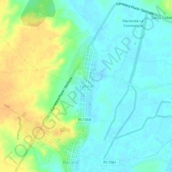
Name: Letirá topographic map, elevation, terrain.
Location: Letirá, Vice, Sechura, Piura, Perú (-5.45918 -80.82674 -5.41918 -80.78674)
Average elevation: 19 m
Minimum elevation: 8 m
Maximum elevation: 38 m
Thank you for supporting this site ❤️
Make a donation
Make a donation