
Azaz topographic map
Click on the map to display elevation.
Azaz
During the Crusader era, Azaz, which was referred to in Crusader sources as "Hazart", became of particular strategic significance due to its topography and location, overlooking the surrounding region. In the hands of the Muslims, Azaz stymied communications between the Crusader states of Edessa and Antioch, while in Crusader hands it threatened the major Muslim city of Aleppo. Around December 1118, the Crusader prince Roger of Antioch and the Armenian prince Leo I besieged and captured Azaz from the Turcoman prince Ilghazi of Mardin.
About this map
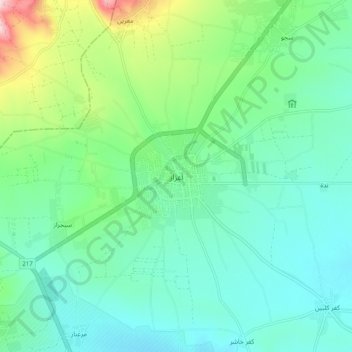
Name: Azaz topographic map, elevation, terrain.
Average elevation: 559 m
Minimum elevation: 499 m
Maximum elevation: 751 m
Other topographic maps
Click on a map to view its topography, its elevation and its terrain.