
Bolpur topographic map
Click on the map to display elevation.
About this map
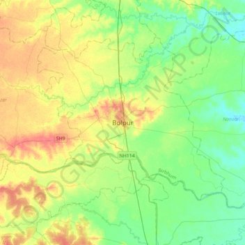
Name: Bolpur topographic map, elevation, terrain.
Location: Bolpur, Bolpur Sriniketan, Birbhum, West Bengal, 731204, India (23.50115 87.53624 23.82115 87.85624)
Average elevation: 42 m
Minimum elevation: 22 m
Maximum elevation: 74 m