
Thank you for supporting this site ❤️
Make a donation
Make a donation
Shigar topographic map
Click on the map to display elevation.
Thank you for supporting this site ❤️
Make a donation
Make a donation
About this map
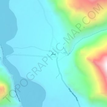
Name: Shigar topographic map, elevation, terrain.
Location: Shigar, Gilgit-Baltistan, Pakistan (35.40262 75.71711 35.44262 75.75711)
Average elevation: 2,438 m
Minimum elevation: 2,207 m
Maximum elevation: 3,436 m
Thank you for supporting this site ❤️
Make a donation
Make a donation