
Thank you for supporting this site ❤️
Make a donation
Make a donation
Equis topographic map
Click on the map to display elevation.
Thank you for supporting this site ❤️
Make a donation
Make a donation
About this map
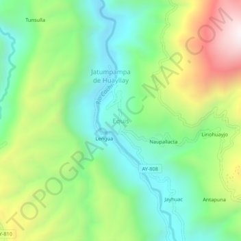
Name: Equis topographic map, elevation, terrain.
Location: Equis, Vinchos, Provincia de Huamanga, Ayacucho, Perú (-13.22058 -74.40208 -13.18058 -74.36208)
Average elevation: 3,373 m
Minimum elevation: 2,999 m
Maximum elevation: 4,059 m
Thank you for supporting this site ❤️
Make a donation
Make a donation