
Vale topographic map
Click on the map to display elevation.
About this map
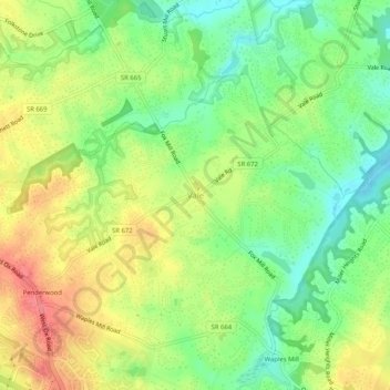
Name: Vale topographic map, elevation, terrain.
Location: Vale, Fairfax County, Virginia, 22124, United States (38.87077 -77.36828 38.91077 -77.32828)
Average elevation: 118 m
Minimum elevation: 85 m
Maximum elevation: 155 m