
Wawa topographic map
Click on the map to display elevation.
About this map
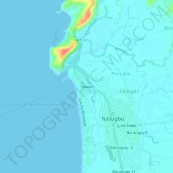
Name: Wawa topographic map, elevation, terrain.
Location: Wawa, Nasugbu, Batangas, Calabarzon, Philippines (14.06081 120.60602 14.10081 120.64602)
Average elevation: 5 m
Minimum elevation: 0 m
Maximum elevation: 75 m