
Manger topographic map
Interactive map
Click on the map to display elevation.
About this map
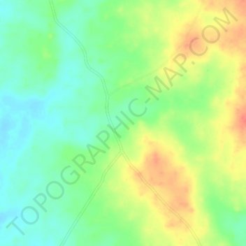
Name: Manger topographic map, elevation, terrain.
Location: Manger, Gwer East, Benue, Nigéria (7.19740 8.30360 7.23740 8.34360)
Average elevation: 102 m
Minimum elevation: 79 m
Maximum elevation: 131 m