
Thano topographic map
Click on the map to display elevation.
About this map
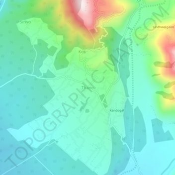
Name: Thano topographic map, elevation, terrain.
Location: Thano, Rishikesh, Dehradun, Uttarakhand, 248143, India (30.21850 78.18893 30.25850 78.22893)
Average elevation: 748 m
Minimum elevation: 621 m
Maximum elevation: 1,160 m