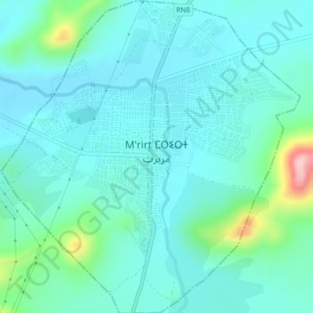
M'rirt ⵎⵔⵉⵔⵜ مريرت topographic map
Interactive map
Click on the map to display elevation.
About this map
Name: M'rirt ⵎⵔⵉⵔⵜ مريرت topographic map, elevation, terrain.
Average elevation: 1,142 m
Minimum elevation: 1,104 m
Maximum elevation: 1,324 m

Click on the map to display elevation.
Name: M'rirt ⵎⵔⵉⵔⵜ مريرت topographic map, elevation, terrain.
Average elevation: 1,142 m
Minimum elevation: 1,104 m
Maximum elevation: 1,324 m