
Schwesing topographic map
Interactive map
Click on the map to display elevation.
About this map
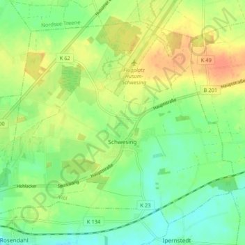
Name: Schwesing topographic map, elevation, terrain.
Location: Schwesing, Viöl, Nordfriesland, Schleswig-Holstein, Deutschland (54.47959 9.09260 54.51803 9.17249)
Average elevation: 19 m
Minimum elevation: 2 m
Maximum elevation: 38 m