
mankot topographic map
Click on the map to display elevation.
About this map
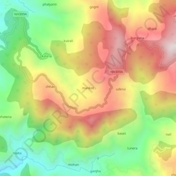
Name: mankot topographic map, elevation, terrain.
Location: mankot, Bāgeshwar, Bageshwar, Uttarakhand, 263642, India (29.80972 79.79394 29.84972 79.83394)
Average elevation: 1,305 m
Minimum elevation: 890 m
Maximum elevation: 1,740 m