
Chanditala topographic map
Interactive map
Click on the map to display elevation.
About this map
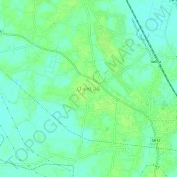
Name: Chanditala topographic map, elevation, terrain.
Location: Chanditala, Chanditala - II, Hugli, West Bengal, 712702, India (22.66902 88.24292 22.70902 88.28292)
Average elevation: 6 m
Minimum elevation: 0 m
Maximum elevation: 11 m
Other topographic maps
Click on a map to view its topography, its elevation and its terrain.
Dankuni
India > West Bengal > Chanditala - II
Dankuni, Chanditala - II, Hugli, West Bengal, 712311, India
Average elevation: 6 m