
Thank you for supporting this site ❤️
Make a donation
Make a donation
Grafenau topographic map
Click on the map to display elevation.
Thank you for supporting this site ❤️
Make a donation
Make a donation
About this map
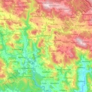
Name: Grafenau topographic map, elevation, terrain.
Average elevation: 605 m
Minimum elevation: 387 m
Maximum elevation: 867 m
Thank you for supporting this site ❤️
Make a donation
Make a donation
Other topographic maps
Click on a map to view its topography, its elevation and its terrain.
Siebenellen
Duitsland > Beieren > Landkreis Freyung-Grafenau > Sankt Oswald-Riedlhütte > Sankt Oswald
Average elevation: 753 m
Thank you for supporting this site ❤️
Make a donation
Make a donation