
Berg topographic map
Interactive map
Click on the map to display elevation.
About this map
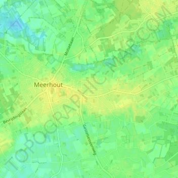
Name: Berg topographic map, elevation, terrain.
Location: Berg, Meerhout, Turnhout, Antwerpen, Vlaanderen, 2450, België (51.11078 5.07193 51.15078 5.11193)
Average elevation: 25 m
Minimum elevation: 15 m
Maximum elevation: 33 m
Other topographic maps
Click on a map to view its topography, its elevation and its terrain.