
Simiátug topographic map
Interactive map
Click on the map to display elevation.
About this map
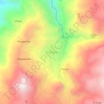
Name: Simiátug topographic map, elevation, terrain.
Location: Simiátug, Simiatug, Guaranda, Bolívar, Ecuador (-1.31141 -78.97981 -1.27141 -78.93981)
Average elevation: 3,377 m
Minimum elevation: 2,695 m
Maximum elevation: 3,850 m
Other topographic maps
Click on a map to view its topography, its elevation and its terrain.