
Osaka Prefecture topographic map
Click on the map to display elevation.
About this map
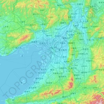
Name: Osaka Prefecture topographic map, elevation, terrain.
Location: Osaka Prefecture, Japan (34.27182 135.02589 35.05129 135.74660)
Average elevation: 178 m
Minimum elevation: -8 m
Maximum elevation: 1,428 m
Other topographic maps
Click on a map to view its topography, its elevation and its terrain.