
Janjanbureh topographic map
Interactive map
Click on the map to display elevation.
About this map
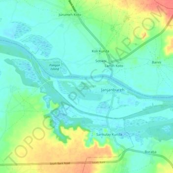
Name: Janjanbureh topographic map, elevation, terrain.
Location: Janjanbureh, Central River Division, The Gambia (13.52349 -14.80588 13.55759 -14.71120)
Average elevation: 15 m
Minimum elevation: 0 m
Maximum elevation: 53 m