
Hildisrieden topographic map
Interactive map
Click on the map to display elevation.
About this map
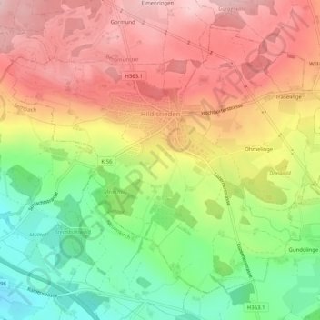
Name: Hildisrieden topographic map, elevation, terrain.
Location: Hildisrieden, Lucerne, 6024, Suisse (47.13204 8.20217 47.16066 8.25298)
Average elevation: 645 m
Minimum elevation: 532 m
Maximum elevation: 742 m